Cities
The PlaceAge Project is undertaken a cross-national case study approach. Experiential research involving older adults and place have primarily been conducted as single-nation studies. Whilst these studies have made an important contribution to the research picture, there is a tendency to generalise outcomes and assume tools and resources are applicable across different national contexts. A comparative, multiple, cross-national case study approach is needed to understand the diversity of place-based experiences of older adults, and how this is influenced by neighbourhood, social contexts, welfare regimes and processes of urban governance and planning.
PlaceAge selected three cities as case studies in Brazil (Brasilia, Pelotas, Belo Horizonte), three cities as case studies in the UK (Glasgow, Edinburgh, Manchester) and three cities as case studies in India (Hyderabad, Calcutta, Delhi). The case study cities have been selected to represent a broad spectrum of urban areas, in terms of demography (mixed tenures by age), inequality (health and social disparities between high and low income groups), topography (different types of urban densities and form) and urban development (varying levels of physical transformation and change).
Within each of the case study cities, three neighbourhoods have been selected reflecting differing levels of affluence, distance from the city, and demographic composition. Neighbourhood level analysis has been chosen because: (i) the greatest time spent by older adults in retirement is at home and in the immediate neighbourhood locality, (ii) older adults are often increasingly dependent upon social relationships in the neighbourhood as they age; and (iii) older adults have important psychological and emotional bonds and association with the neighbourhood.
Case study analysis places emphasis on how different conditions at the local level affect sense of place experiences of older adults. In other words, how do physical, social and cultural factors interact to affect sense of place and experiences of sense of place amongst older adults across the different case study areas? How do various urban environments currently support (or inhibit) the social participation and meaningful engagement in old age? What would urban environments looks like if they supported successful ageing for older adults? Comparative analysis of the different case studies are conducted cross-nationally to establish commonalities and differences in the experiences of older adults across different socio-cultural contexts. Comparative analyses focus on identifying variations across localities and the reasons for such differences. An introduction of each city is presented below:
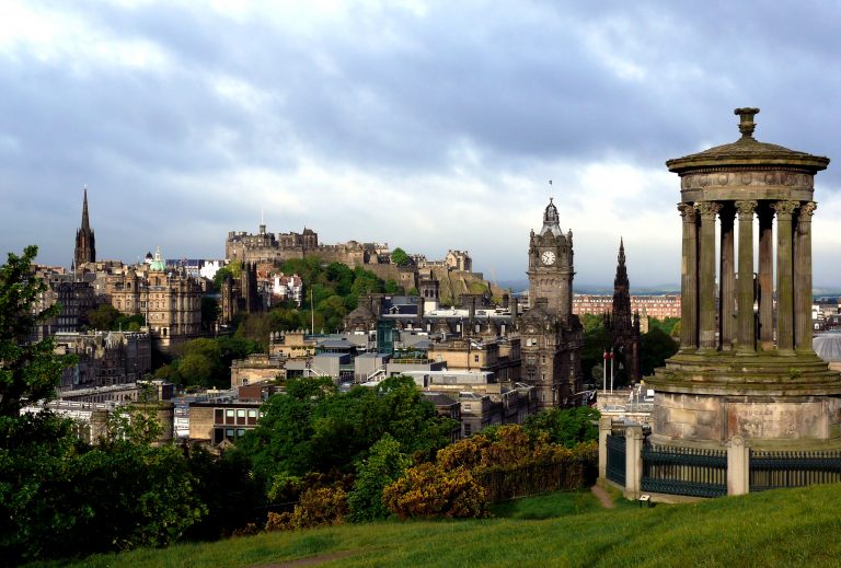
Edinburgh, UK
Total population: 464.990 hab
Density: 1.786 hab./km²
Eldery population (60+): 92.06 hab. (19,8%)
Life expectancy: 77,9 years
Location: map
Study areas
Brief Story: Edinburgh has been the capital city of Scotland since the 15th century and is home to the Scottish Parliament. It is considered the largest financial centre in the UK after London. Edinburgh is Scotland’s second most populous city and the seventh most populous in the UK (2014 mid-year population estimates are 492,680). Similar to many other cities, population density in Edinburgh is highest in inner suburban areas around the commercial core of the city centre, particularly in the Leith Walk and the South Side areas. The former comprising nearly 26,000 people resident within an 800-meter radius. This is a higher area population density than anywhere else in Scotland, including Glasgow. Currently, 55 per cent of the city’s population live within 4 km of the centre of Edinburgh, contrasting with 48 per cent in 1981 (The City of Edinburgh, 2013). Most evident features of the city landscape are Edinburgh Castle, Arthur Seat, St Giles’ Cathedral and Holyrood Park. The city has two distinct areas, the medieval Old Town and the neoclassical New Town. According to UNESCO “the harmonious juxtaposition of these two contrasting historic areas, each with many important buildings, is what gives the city its unique character” (UNESCO World Heritage Centre, 2016), features that granted the city’s Old and New towns to be declared a UNESCO World Heritage Site in 1999. The city’s historical and cultural attractions have made it a very popular touristic destination (nearly 13 million people visit the city each year), especially during Edinburgh International Festival and the Fringe Festival, the latter considered the largest annual international arts festival in the world. Persons aged 60 and over comprise 19.8 per cent of City of Edinburgh; this is smaller than Scotland where people aged 60 and over make up 24.2 per cent of the population. (National Records Scotland, 2016). Edinburgh joined the World Health Organization Global Network of Age-Friendly Cities and Communities in 2012.
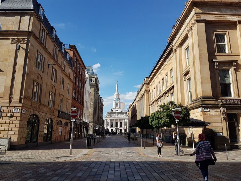
Glasgow, UK
Total population: 606.340 hab.
Density: 3.333.8 hab./km²
Eldery population (60+): 112.17 hab. (18.5%)
Life expectancy: 73.4 years
Location: map
Study areas
Brief Story: Situated on the River Clyde in the country’s West Coast, Glasgow is the largest city in Scotland and the third largest city in the UK (2014 mid-year population estimates are 599,640), after London and Birmingham. When compared to Edinburgh, Glasgow is a much larger metropolitan area, with several large ‘satellite; towns in close proximity (The city of Edinburgh, 2013). Once considered the largest seaport in Britain and major centre of the Scottish Enlightenment in the 18th century; Glasgow’s rich and diverse “history is all around the city and Glaswegians are proud of their diverse history, giving them a sense of pride and identity in their city.” (People Make Glasgow, 2016). When compared to other large cities in Scotland (Edinburgh, Aberdeen and Dundee), Glasgow has the largest percentage of ethnic minority groups (12%). The largest, single ethnic minority group is Pakistani, and a higher percentage of population recorded their ethnic group as Pakistani in Glasgow (4%) compared to Edinburgh, Aberdeen and Dundee (around 1%) (Understanding Glasgow, 2016). The city of Glasgow is now the second most popular tourist destination in Scotland and offers the country’s largest retail centre. Glasgow’s medieval St Mungo’s cathedral is one of the city’s most famous attractions and has been a dedicated place of worship for the last 800 years. Oftentimes considered one of the finest in Great Britain, St Mungo’s is an iconic architectural feature of the city and distinguishes itself from others by its extensive and impressive collection of post-war stained glass windows (History, 2015). The university of Glasgow forms an important part of the city’s historical and cultural heritage. Founded in 1451 is the fourth oldest University throughout the English-speaking world and it has produced such talents as scientist Lord Kelvin, economist Adam Smith, and the famous inventor John Logie Baird (History, 2015). Glasgow’s recovery from a period of economic decline has been dramatic, with an intense transformation that started in the 1980s; by the end of decade it had been declared ‘European City of Culture’, followed by ‘City of Architecture and Design’, and the first British city to be named UNESCO ‘City of Music’ as part of the Creative Cities Network in 2008. Older adults aged 65 and over comprise 13.9 per cent of Glasgow city population (Understanding Glasgow, 2016). Glasgow joined the World Health Organisation Global Network of Age-Friendly Cities and Communities in March 2015.
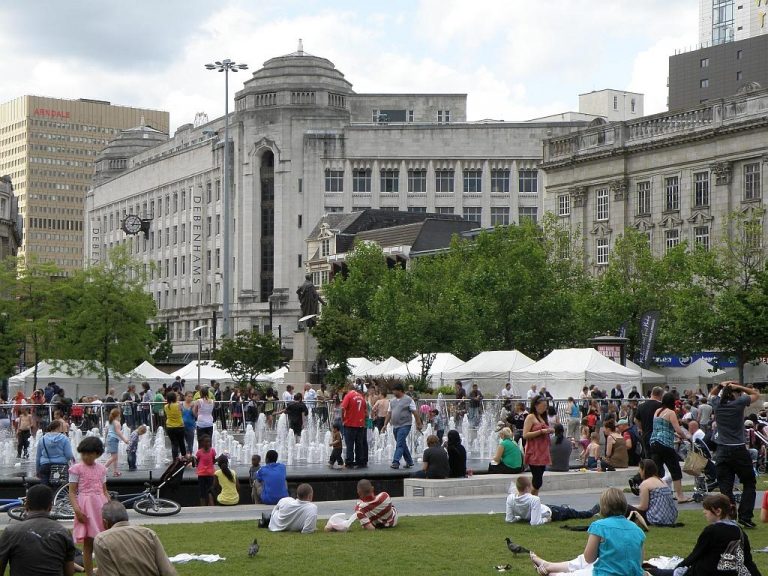
Manchester, UK
Total population: 514.414 hab.
Density: 4,571 hab./km²
Eldery population (60+): 142.49 hab. (27.7%)
Life expectancy: 75 years
Location: map
Study areas
Brief Story: The city of Manchester achieved city status in 1853 and is considered the World’s first industrial city. It has a rich and historic legacy of industrialisation stretching back over two centuries, which declined after WWII. Manchester lies within one of the most populous metropolitan areas in the UK (2014 mid-year population estimates are 514, 417) and is the third-most visited city in the country. Manchester city centre was destroyed in a bombing attack in 1996 by the Provisional Irish Republican Army (IRA), the tragedy however led to extensive investment and regeneration (the city received around £583 million in private and public funding), giving way to a thriving modern city (BBC, 2016). In 2014, the Globalization and World Cities Research Network (www.lboro.ac.uk/gawc/) ranked Manchester as a beta world city, the highest-ranked British city apart from London. Public transport is one of the main features of the city’s heritage. Manchester was the place of the world’s first railway line which opened in 1830 and Victoria Station is one of the world’s oldest continuously operating stations and it is still the second largest station in the UK. Very important cultural and social contributions have originated in this city: Emmeline Pankhurst, the mother of the Suffragette movement led the campaign for women’s right to vote. The Guardian, currently one of the most respected newspapers in the UK and also in the world, was founded in 1821 as The Manchester Guardian. Today Manchester is also renowned for being a gay-friendly city; the area around Canal Street became one of the UK’s most thriving and active gay communities in the early 90s, making a point of referring to itself as a ‘gay village’. Manchester is also well known for being a city of sport with two Premier League football clubs: Manchester United and Manchester City. Persons aged 65 and over comprise 9.4 per cent of Manchester total population, according to the 2015 Mid-Year Estimate (Manchester City Council, 2016). Manchester council’s efforts towards an age-friendly city have been in place since 2003 through the Valuing Older People programme. (Manchester City Council, 2016). In 2010 Manchester was the first UK city to join the World Health Organisation Global Network of Age-Friendly Cities and Communities and by 2014 attained WHO accreditation as an Age-Friendly City.
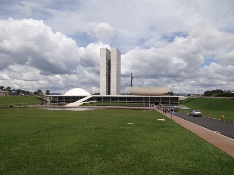
Brasilia, Brazil
Total population: 2.977, 216 hab (IBGE, 2016)
Density: 444,66 hab./km²
Eldery population (60+): 198.012 hab. (7,7%))
Life expectancy: 77,3 years (IBGE, 2013)
Location: map
Study areas
Brief Story: The aspiration for the construction of Brazil’s new capital had begun when the country was still a Portuguese colony. The reasons to justify the project were the search for security against possible attacks from the sea, a better integration of the huge land and the motivation to create a new Brazilian man. When Juscelino Kubtitschek (JK) reached the Presidency, he set a deadline for the construction of the new capital: three years and ten months. Combining the tenacity of an audacious dreamer and the help of visionary artists and compromised workers, the city was inaugurated on the appointed day: 21st April 1960. Brasília’s futuristic and innovative form comes, mainly, from the work of Lúcio Costa and Oscar Niemeyer. Lúcio Costa, an urban planner, won the contest to design a pilot project for Brasília, presenting some sketches, a description of his proposal and the prospect for the city to have 5, 000.000 inhabitants. According to Lúcio Costa the plan reflected the gesture of one who lays down a mark or takes control: Two lines intersecting at right angles, one axis designated to the monuments, the other, for the residential area, its services and facilities. The project required a qualified architect and JK, who as mayor of Belo Horizonte invited Niemeyer to design a plan for the suburb of Pampulha, invited Niemeyer once more. Nowadays, after more than five decades, and housing 2.500.000 inhabitants, the saga of Brasília continues. From time to time victories are commemorated, defeats are lamented and the dream of shaping a new man in the country of the future continues.
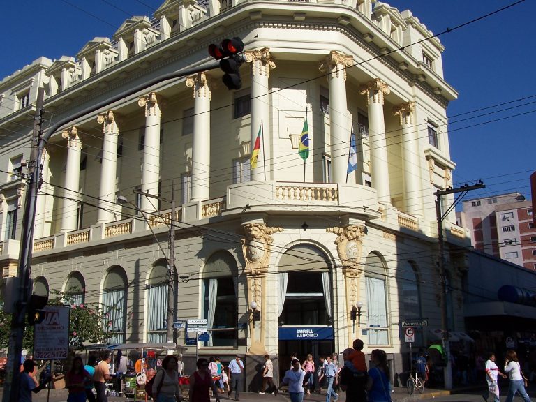
Pelotas, Brazil
Total population: 343.651 hab (IBGE, 2016).
Density: 203.89 hab./km²
Eldery population (60+): 49.794 hab. (15,17%)
Life expectancy: 75,64 years (IBGE, 2010)
Location: map
Study areas
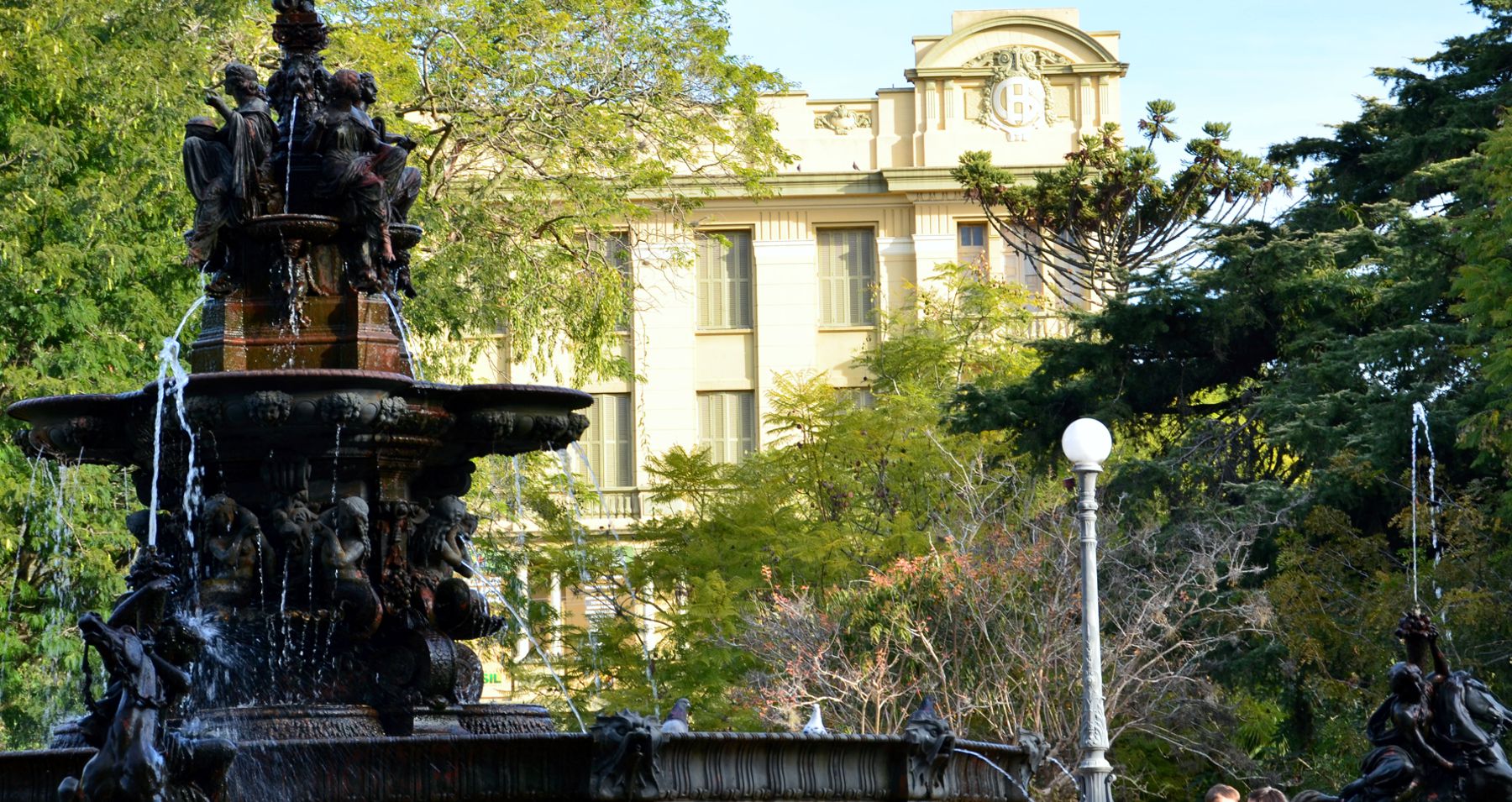
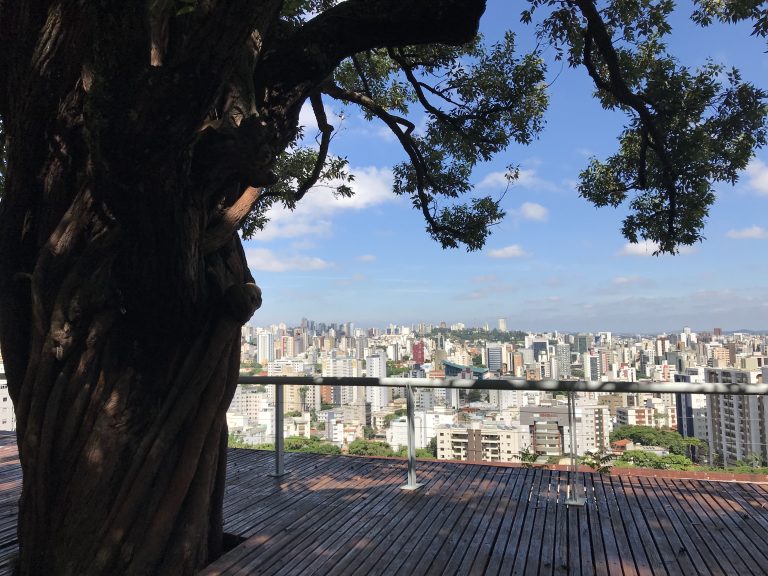
Belo Horizonte, Brazil
Total population: 2.513.451 hab (IBGE, 2016)
Density: 7.167,00 hab./km²
Eldery population (60+): 299.177 hab. (12,6%)
Life expectancy: 70,52 years (IBGE, 2010)
Location: map
Study areas
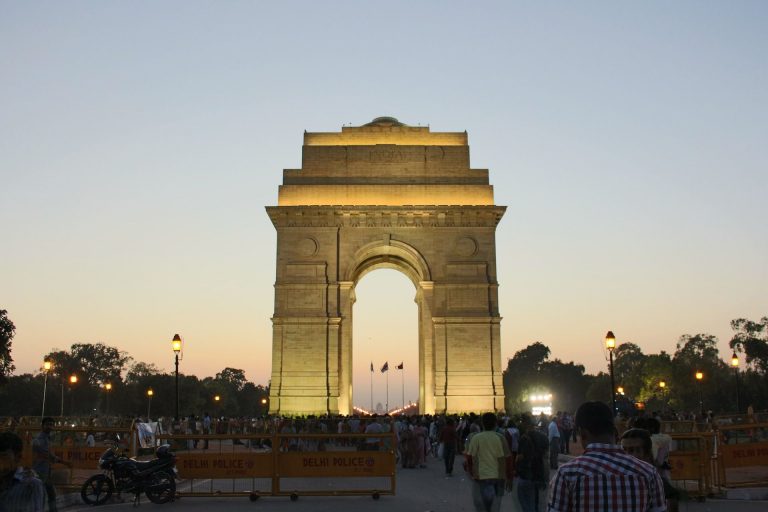
Delhi, India
Density: 18,480 hab./km²
Eldery population (60+): 6,8% dos hab. (2011)
Life expectancy: 73,2 years
Location: map
Hyderabad, India
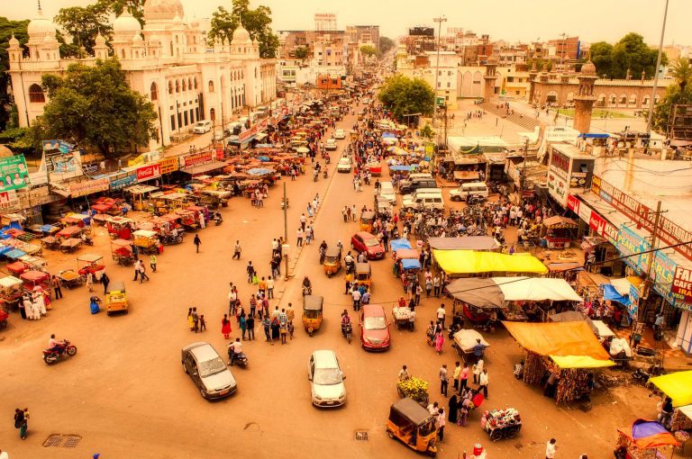
Density: 18.480 inhab./km²
Population of the elderly (60+): 7% hab.
Life expectancy: 68,5 years
Location: map
Kolkata, India
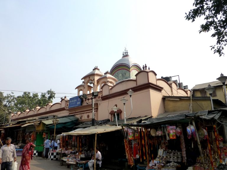
Total population: 4.6 million
Density: 22,000 inhab / km²
Population of the elderly (60+): 37, 30,276 hab. (F), 37, 60,238 inhab. (M)
Population of the elderly (80+): 3, 87,000 inhab. (F), 3, 38,000 inhab. (M)
Life expectancy: 70.1 years (F), 67.6 years (M)
Location: map